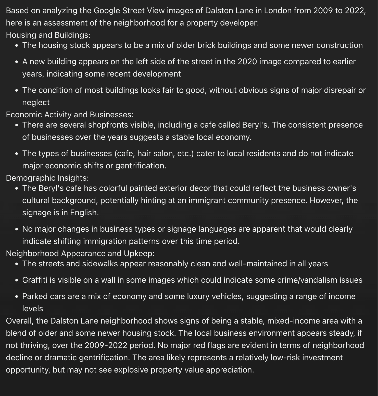
Neighbourhood Analysis for Real Estate – Concept
Images are a rich source of data about the physical characteristics of neighbourhoods.
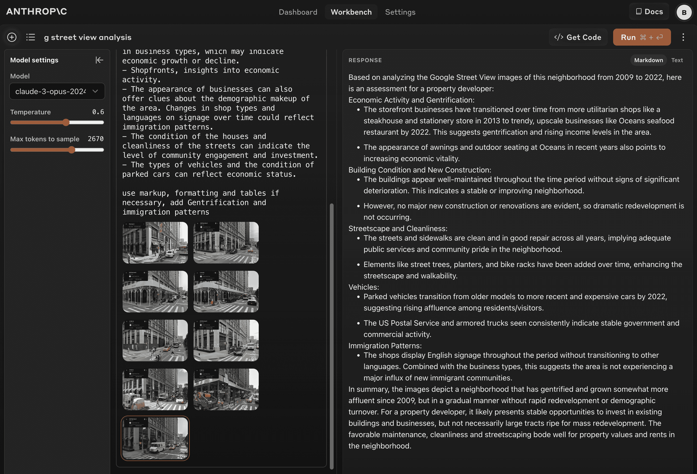
Historical data can show changes in a neighborhood over the years. By comparing images from different time periods, one can observe new construction, the condition of buildings and public spaces, and changes in business types, which may indicate economic growth or decline.
The analyzer has the potential to be applied in urban planning, (commercial) real estate investment and sociological research. By automating the analysis of neighborhood evolution, it could provide data-driven insights into gentrification, economic development, infrastructure changes, and demographic shifts.
However, the system's accuracy and generalizability across diverse geographies and time periods need rigorous testing.
Future plans include integrating additional data sources (market analysis, crime data, census data), enhancing the AI's interpretive capabilities, and conducting pilot studies with domain experts to validate the system's real-world applicability.
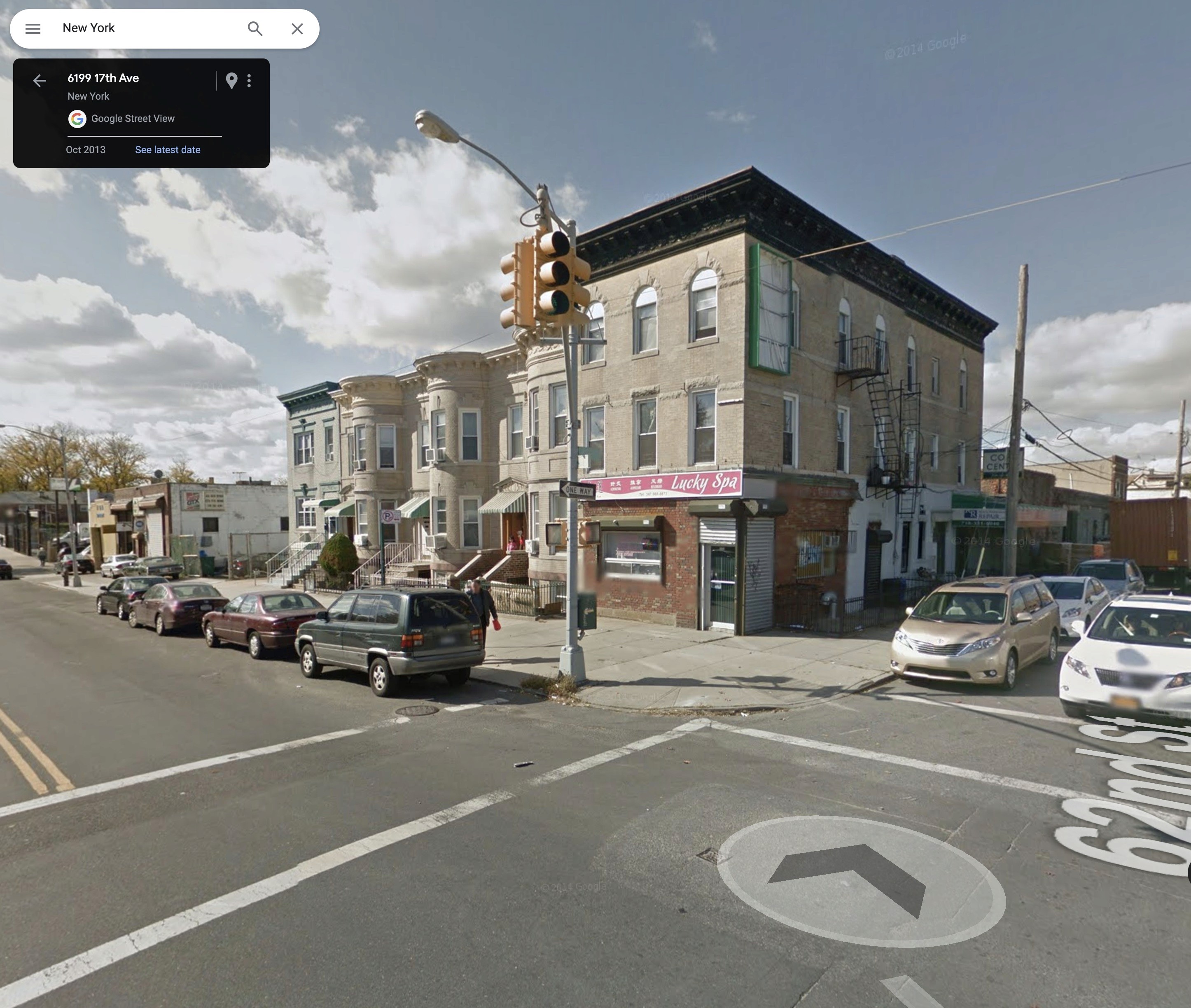
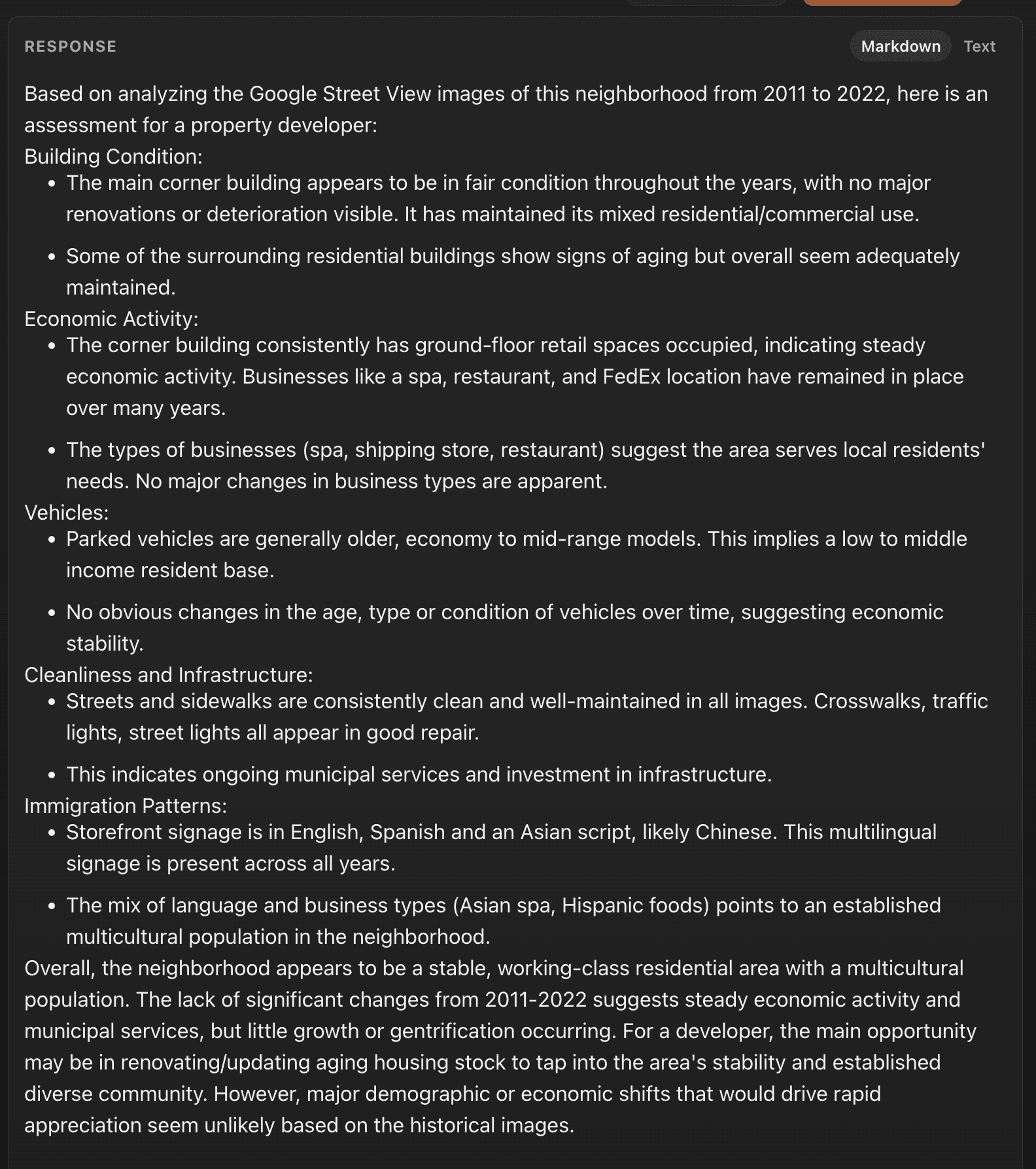
17th Avenue, New York 2011-2021
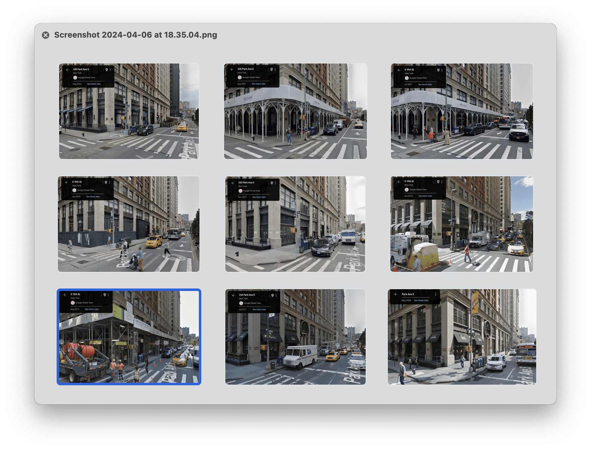
235 Park Avenue South, New York 2009-2021
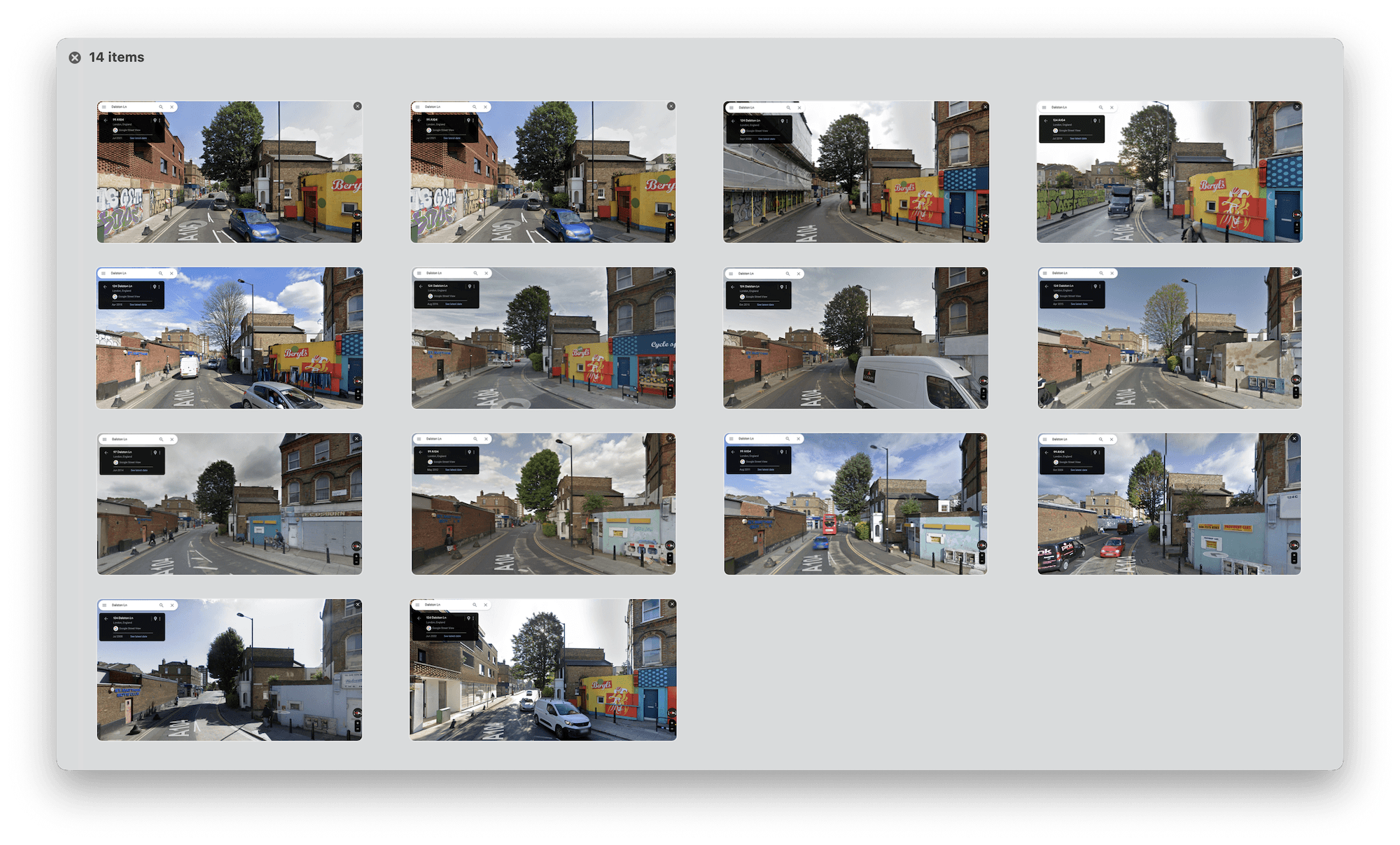
Dalston Lane, Hackney, London 2008–2022
